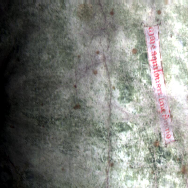
Madi had already started working on creating chips of the land area of the new section of the Gough Map, so I started running programs on chips of the sea. I think it's the English Channel. But I'm not the greatest with European Geography so it's the portion of the sea that is southeast of England. I think I cleaned up a depth line (a boundary line that may have served to show how deep the sea would be). But nothing else showed up otherwise. I only managed to get to two 800x800 pixel chips through all of the programs that I know thus far.
I took a break to be a test subject for the Visual Perception Lab just before lunch. I almost spilled the beans afterwards. The interns had a little bit of trouble with hooking me up to the Eye Tracker. I can't talk about what I saw so that the experiment materials can be reused (Phewy).
I ended the day with an Entrepreneurship talk that turned into a "Presenting to Non-Science Audiences" presentation. I had to leave in the middle of it though. The points in this presentation this should help with all of our presentations at the end of this internship.
Original
PAC in RGB with Enhancement

No comments:
Post a Comment